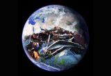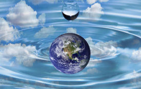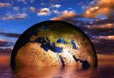
Data floods our Earth
New project “Digital Earth” aims to better structure research data.
Every day, scientists collect countless data about the state of our planet – whether from the atmosphere, ocean or land. However, the processing of these large, heterogeneous data sets produced in this way has reached its limits. The joint project “Digital Earth” coordinated by the GEOMAR Helmholtz Centre for Ocean Research Kiel seeks to develop new methods for combining data from atmospheric, ocean and terrestrial research and to make more efficient use of it. The project is funded by the Helmholtz Association with five million euros over three years.
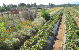
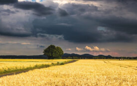
The Earth system is complex: atmosphere, ocean, land surfaces, everything is interconnected. Natural climatic fluctuations on different time scales are a result, but also global change due to changes in greenhouse gas emissions or land use. Scientists from various disciplines are trying to better understand this complex interaction and collect data. However, information from many different areas is necessary, which are often difficult to obtain or the scientists simply don’t know about their existence.
As part of a large joint project in the research division “Earth and Environment” of the Helmholtz Association, a better integration of the data is now to be achieved. For this purpose, data are collected and analyzed across different disciplines of Earth science. Equipped with a volume of five million euros, eight research centers of the Helmholtz Association intend to make progress here over the next three years by means of the “Digital Earth” project. The project is coordinated by the GEOMAR Helmholtz Centre for Ocean Research Kiel.
“Of course we do not start from scratch,” says Prof. Dr. Jens Greinert, project coordinator of GEOMAR. “The different disciplines in the field of Earth Sciences collect data and sometimes also maintain large, internationally coordinated archives. What is missing, however, is the ability to process fast-growing, multi-parametric data, to visually explore it or analyze it using artificial intelligence”, Greinert “continues. This is a question that is by no means trivial and requires close cooperation between natural scientists and data scientists.
“In Digital Earth we therefore want to bring together experts from both groups to refine digital workflows, to develop new ones and to include new algorithms,” explains the Geologist from Kiel. With these new methods, it will then be easier in the future to integrate and interpret data from different disciplines. “Our Earth system is so complex that nobody alone can understand it. But if are able to bring together what we already know in a more sophisticated way, then we can better understand and interpret interactions”, Professor Greinert says confidently.