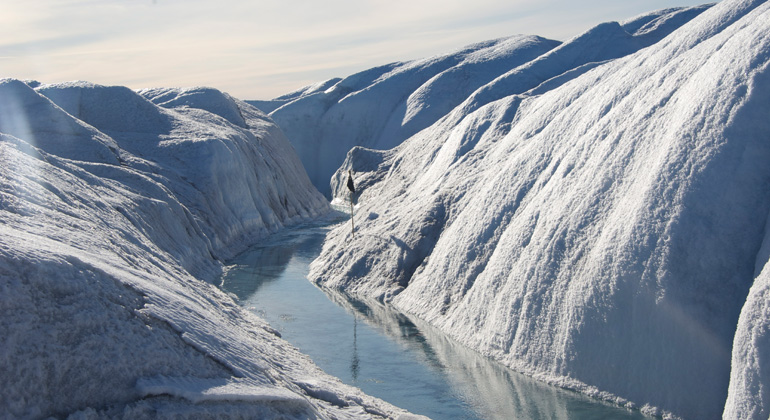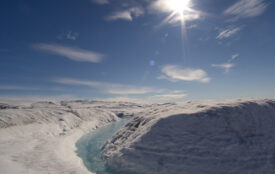
Greenland loses more ice than assumed
The mass loss from the Greenland ice sheet is bigger than previously estimated. This is the result of a study by international scientists to be published in Science Advances.
The work shows that up to now the so-called glacial isostatic adjustment, i.e., the uplift of the bedrock, was not correctly taken into account when measuring the glaciers’ mass balance with data from GRACE satellite observations. The new calculations by the team yield 272 Giga tons (Gt) of mass loss per year from 2004 to 2015 compared to previously calculated 253 Gt per year. Ingo Sasgen and Veit Helm from the Alfred Wegener Institute, Helmholtz Centre for Polar and Marine Research as well as Kevin Fleming from the GFZ German Research Centre for Geosciences and were part of the team led by Shfaqat A. Khan from the Technical University of Denmark.
The uplift of the bedrock is due to thinning of the Greenland Ice Sheet since the Last Glacial Maximum, around 20,000 years before present. The scientists measured this upward movement with a new GPS network that has its sensors placed directly on the bedrock surrounding the ice sheet. Such glacial isostatic uplifting is well known, for instance from Scandinavia. At the height of the Last Glacial Maximum, the ice sheet there reached a thickness of more than a kilometer and extended over the Baltic Sea towards the northern regions of today’s Germany.
Greenland was also covered by much more ice than today, which caused the lithosphere to be pressed downwards; a process that is reversed today and has to be taken into account when measuring the elevations of the surface glaciers and ice sheets. The rate of the uplift is determined by the ice mass as well as by the properties of the Earth, namely the lithosphere and mantle, beneath the ice. And this is where the models were off, as they did not take into account the geological past of Greenland. The slab of the Earth’s crust with Greenland on it passed over a hot spot in the Earth’s mantle about 40 million years ago. As a consequence, the lithosphere beneath Greenland thinned and got warmer than, for instance, under Scandinavia. Today, Iceland with its hot springs and volcanoes sits over the same hotspot.
Shfaqat A. Khan and his team used GPS observation points that had been installed on the bedrock by the Technical University of Denmark within the GNET project. They showed that the uplift rate is bigger than previously estimated and modelled. The results also point to a much greater ice loss since the Last Glacial Maximum. Current estimates put the sea level rise when spread over the whole global ocean due to the reduction of the size of the Greenland Ice Sheet at 3.2 meters over the last 20,000 years. The new study, however, gives a value of 4.6 meters since that time.
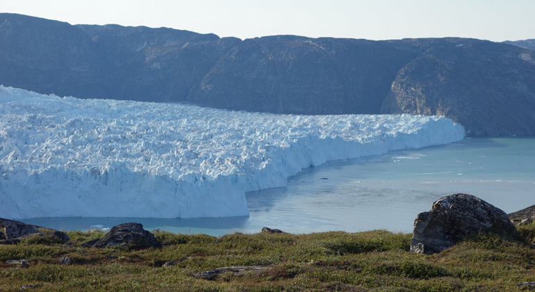
The greatest discrepancies between previous estimates and actual measurements were found in the Northwest and the Southeast of Greenland. As the glaciers there are mostly calving directly into the ocean surrounding Greenland and as these regions experience the greatest loss of ice mass, the climate sensitivity of these regions is probably higher than previously thought. The scientists expect that the dwindling ice of Greenland will contribute significantly to the sea level rise for centuries to come.
Original publication: Shfaqat A. Khan, Ingo Sasgen, Michael Bevis, Tonie van Dam, Jonathan L. Bamber, John Wahr, Michael Willis, Kurt H. Kjær, Bert Wouters, Veit Helm, Beata Csatho, Kevin Fleming, Anders A. Bjørk, Andy Aschwanden, Per Knudsen, Peter Kuipers Munneke: Geodetic measurements reveal similarities between post–Last Glacial Maximum and present-day mass loss from the Greenland ice sheet. DOI: 10.1126/sciadv.1600931